Sunday, December 3, 2017

99.5% Completed Loop

We've ordered our Gold Burgee, but won't be able to hoist it until we go back and complete the last 25 miles of our Loop.


Here is a map of the possible Great Loop routes, ours is shown in red.  It totals 5220 miles and is about the shortest route possible.

We started December 19, 2016 and essentially completed our Loop November 25, 2017.  Our journey was broken up into seven legs that allowed us to return home for the majority of the year.  We actually only spent 70 days boating and another 55 days traveling to/from the boat or laid over at a marina.  So although it adds up to only about 1/3 of the year, it certainly impacted our lives more than that would imply.

We averaged 75 miles per day when boating.  The shortest day was 2 miles and the longest was 139 miles (except for the Gulf crossing when we went for 22 hours and covered 250 miles).  We generally traveled at two different speeds depending on conditions and goals for the day; our displacement speed of 9 mph or our planning speed of 20 mph.  We would also slow to 6 mph when passing through no wake zones, private docks, stationary boats fishing, work barges, etc.


We met some really wonderful people.  Not only other Loopers, but those in the marinas and towns we visited as well.  We enjoyed time in parts of the country we would never have experienced otherwise.  It is a large and great nation that we have!  We are thankful for the opportunity to enjoy it.


Monday, November 27, 2017

Tombigbee River

We left Demopolis Marina at 6 am with first light.  We had met up with Mother Ocean the night before and they were keen on getting an early start since they only travel at 7 mph and it was 71 miles to a decent anchorage.  With the short winter hours it gets dark by 4:30.

Now out of the Tenn-Tom canal system we were in the crazy natural river, wandering about in flat terrain. It was 216 twisty miles through rural Alabama to Mobile. No using the autopilot here, it was full attention and hand steering all the way.  Here is a screen shot of our chartplotter.

Our good luck with weather held, with sunny, windless days and cool nights.  Here was another group of animals enjoying the nice day.

We also saw large sandy beaches on many of the inside of river curves.

We also saw why they may have all were deserted.  This guy was easily 10 ft long and above the last dam, so he was in fresh water.

Coming into Mobile the scenery changed abruptly from swamp to industrial.  Our timing was lucky since it was Saturday after Thanksgiving and nobody seemed to be working.  I spotted over two dozen tugs, but none of them moving.  

There were large container ship loading docks, power plants, lumber yards, and even some military ship building.  These stealth looking trimarans were quite modern and imposing. 

We only glimpsed downtown Mobile as we cruised past into the bay.

Mobile Bay was our first saltwater since leaving New York Harbor.  It is not very deep, so we stayed in the shipping channel and hardly met another boat in the 30 miles it took for us to get to the ICW to Orange Beach.

So we made it back to the Gulf and only about 25 miles from where we started in Pensacola last December.  

Would have been nice to complete our loop on this leg, but we couldn't find a better marina than the Warf at Orange Beach.  It is modern, safe, well protected from storms, and has good restaurants onsite. 

It also close to a nice beach area.  We spent a couple hours walking along its white powder sand.

We've returned home for December and probably January.  Around the first of Feb we'll come back and cruise down to the St. Petersburg, FL area.  We are trying to decide our next plans for Happy Daze.  Commit to a second Loop, leave her in FL, or sell and move on to other adventures.  It's all good!


Sunday, November 26, 2017

Tenn-Tom Waterway

Upon leaving Grand Harbor Marina we were in the Tenn-Tom Waterway.  This is a 234 mile, man-made canal with 10 locks, which links the Tennessee River to the Tombigbee River.  This canal was only finished in 1985, so a relatively new system.


We traveled through a few locks together with two other boats. One of them was this ocean going yacht from Switzerland.  They were five years into their trip, coming across by way of Iceland, Greenland, and St. Lawrence Seaway.


Angie's lock tending technique has really been refined with these bollard style walls on the Tenn-Tom.


Some mornings have dipped below 40 degrees.  One morning especially so with 1/2 inch of frost covering the boat.  Made it a bit tricky raising and washing the anchor.

We had numerous sightings of eagles, but few chances to get photos. Moving boats are not the best platforms to take telephotos from.


Saturday, November 25, 2017

Tennessee River

We flew back to Nashville on Nov 13, stayed overnite near airport and drove to Green Turtle Lake the next morning.  Happy Daze looked good after her month long rest under cover.

We spent the afternoon, tidying up and shopping for provisions.  We then went to the nearby village of Grand Rivers and had dinner at Patti's old tyme restaurant.  Food and service were good, but the walk though their Christmas light display was fantastic.  Even better than the display in Panama City where we spent last Christmas.


We took the rental car back early next morning and with rain in the forecast we left about 10:30 am.  It would have been real easy to stay another day, all safe and snug in the marina under cover, but that would not get us any closer to the Gulf and winter is coming.

The weather did turn ugly for awhile, with wind and rain.  But we slogged along at 9 mph and made about 40 miles before pulling into a protected bay off of Kentucky Lake.  The whole time, we only saw one sail boat and one commercial tow with 15 barges.  The lake is large and gorgeous, with plenty of public shoreline and many coves for anchoring.


After about 150 miles the lake narrows and we found ourselves going up the wide Tennessee River.


The days were mostly sunny, with highs in 60's and down to low 40's at night. There were many vacation homes on both banks, but we saw hardly any people.  It was like a ghost town.  We really were traveling during the off season.

The next night we anchored in an oxbow just off the river, with a nice slow current keeping us aligned and wild goats wandering around on the nearby island.  Another very peaceful evening.

The next day we reached the Pickwick Lock and dam.  It raised us 55 ft to beautiful Pickwick Lake.  There were several very nice homes scattered around the edge.


Then it was another 15 miles to Grand Harbor Marina for us.  The forecast called for high wind and rain the next day so we decided to take safe harbor when available.  We've learned that the weather is the single most critical factor to having a safe, enjoyable and successful voyage.  We spent our lay day catching up on housekeeping, emails, and small maintenance items. 


Unfortunately, shortly after a nice evening meal, Angie started having strong abdominal pains and began vomiting.  At first we thought it might be my bad cooking, but by midnight she self-diagnosed it as an acute gallstone attack.  We wasted a lot of time trying to get access to the marina loaner car, find a taxi, or uber; all to no avail.  Finally, we called 911 and took an ambulance to the nearest hospital.  After plenty of drugs, the pain subsided.  An ultrasound, blood work, and ER doc confirmed her diagnosis.  Surgery will wait until we get back home.  We returned from the hospital around 8 am and since the forecast was good, decided to head out on the Ten-Tom waterway.  But that will be another post.


Monday, October 23, 2017

Ohio and Cumberland Rivers

We exited the Mississippi River at Cairo, IL.  The change was dramatic as the muddy debris filled water was left behind and we entered the much cleaner Ohio.  The only downside was the current changed from 3 mph of help to 2 mph of hindrance, since we were now going upstream.  Our goal is the Green Turtle Bay marina on Lake Barkley, about 90 miles away.


There was a lot of barges and commercial activity near the confluence.  Many grain loading stations and a few quarry operations like this one later on.


The first lock we came to on the Ohio was the Ohlmstead.  They are constructing a new one (targeted for 2020, but already years late and way over budget) right next to the old one that we were allowed to boat through (after a 45 min wait).


Our nemesis was the infamous Lock 52.  The lock website showed over 60 commercial tows in the queue, some waiting more than 4 days.  We arrived at 4:15 pm with 3 other boats and called in to the lock master.  He told us to move over and wait for the next opening.  After 2 tows went through and another in process, about 6 pm we called again, got a new guy (must have been a shift change) and he said after the next tow went through he would take us.  That meant 7:30 at earliest.  Not being keen on traveling in the dark, we requested permission to anchor for the night.  We anchored just below the dam in 10 feet of water, far away from the locking process on the other side of the river.  Unfortunately, the spillway current was just enough to slap noisily at the sides of our hull all night long.


We awoke before daybreak and prepared to lock through as soon as possible.  We called the lock master (again someone new) at 6:30 am to inform him of our readiness.  He called us over at 8 am to be ready.  We finally locked through at 10 am!  To relieve our frustration, we powered up and went at 20 mph for the next couple of hours.  The first time in several days we have been able to.  Once we left the Ohio, we entered the Cumberland river and it was much narrower.  Not much traffic and we had a nice cruise except for one hidden tree limb that jumped into our propeller.  It stalled us out and caused great anxiety.  But we toggled forward and reverse a couple of times to free ourselves and all was well again.  Whew!  A few miles later on we came upon 3 other Looper boats and decided to follow them to the next lock.  The Barkley lock is one of the highest at about 57 ft of lift.  We only had to wait about 20 minutes and the process was very quick and smooth.


Just a mile into Lake Barkley was Green Turtle Bay marina.  We fueled up, pumped out, and were in our slip by 4:30 pm. 

 We lucked out by getting a covered slip that just became available that day.  It will be a safe protected spot for Happy Daze (you can just see her nose in second slip) while we return home for the next 3 weeks. 


We booked flights and rented a car to sight-see for a day.  Paducah is about 30 miles away, where we visited the National Quilt Museum and the famous Hancock's Fabrics world headquarters.  Angie was in heaven.  The lake, marina, and town all seem very nice.  We'll try to spend a bit more time here when we come back in November.  They have a long wall of murals that show Paducah's history, including this of Lock 52 with a tow and barges.


For this leg from Racine, WI to GTB in KY, we covered about 740 miles over 12 days of boating.  That's an average of 62 miles/day, only a bit below our overall Loop average of 74 miles/day.

We are 4380 miles into our Great Loop and estimate only about 700 left to complete it in Pensacola, FL.  And that is the next leg!

Mississippi River

When first learning of the Great Loop, I had assumed we would spend a great deal of time on the Mississippi River.  That option does exist, but like most Loopers, we chose an alternate set of rivers for most of our journey south.  The section we did travel began at Grafton, IL and ran 220 miles to Cairo, IL where the Ohio River comes in.

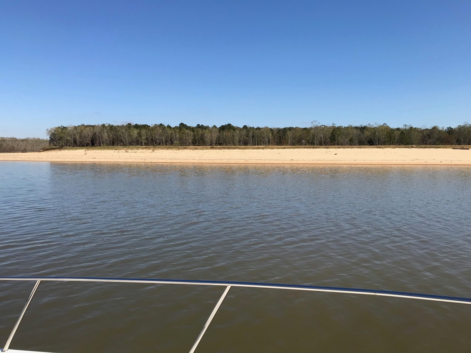
No question the river is big and muddy.

In our first few miles we almost ran aground.  The river looks so big that we did not worry about shallow areas - WRONG!  There are many and several man-made like this "wing-dam" that we recognized thanks to the BBQ grill.  They extend out from the shore several hundred feet and are often submerged at high water.  The US Core of Engineers has constructed these partial dams to keep the main river flow in a channel.  We learned our lessen to "stay in the marked channel" and not wander outside.

After leaving Grafton on the Illinois River, we traveled a whole 15 miles to Alton on the Mississippi.  We had been getting reports that they were having trouble at a lock on the Ohio River where we were headed and it was confirmed that the lock was down for repairs, with no boats were getting through. Surprisingly, there are few anchorages and no real marinas on this section of the Mississippi.  Alton had the last nice marina and they were offering a "pay for 3 nights and stay 6" fall special.  The marina is near the right bridge span and we were in a covered slip. They had a pool, 2 hot tubs, and private bathrooms with showers; all on floating structures.  The old downtown was only a few minutes walk with many restaurants and antique stores.


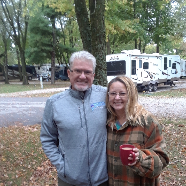
Since we were stalled on our voyage, we took the opportunity to go visit my daughter Christine and son-in-law Steve.  We rented a car and met them at a campground in Springfield, MO. 

They came up from Cassville, MO, a couple hours away in their "new to them" camping trailer.  We played bocce, cooked out, and caught up on our life stories.  It was a pleasant couple of days off the boat.


While away we learned that Lock 52 was repaired and locking boats through.  Although commercial barge traffic was backed up for days, it was reported that pleasure boats could expect to be grouped together and "slipped into the queue after not too much delay".  So we skipped using our extra 3 days and left Alton the next morning after getting back from our family visit.  There were 1-2 hour delays getting through the next two locks, but the weather was beautiful and we made good time after that.  Scenery was mostly commercial, but interesting in its own way.


Later on we were rewarded by an impressive view of the St. Louis arch.


Our destination was Hoppies, the only "marina" in about a 270 mile stretch of river.  It is rather rustic (3 grounded old work barges that you tie up to), but a well known Looper stop.  The ancient proprietor, Fern, gives an afternoon talk on what to expect on the river ahead of us.

Besides being the last fuel stop for many miles, Hoppies also allows access to a quaint old town of Kimmswick, MO. population 158.  Interestingly, the whole town is closed on Mondays (the day of our visit) including restaurants, museums, gift stores, etc.


Occasionally we saw some very nice homes overlooking the river.

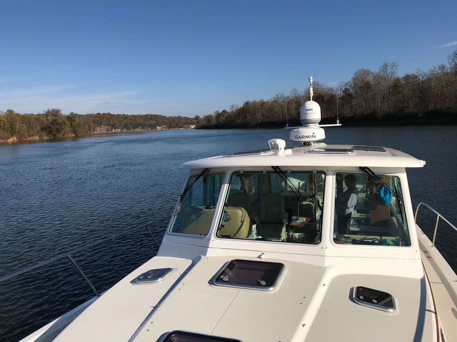
We never saw any recreational boating, however we saw and watched out for these numerous and very large tows.  It was important to call them when in narrow channels, especially going around bends.  They would let you know if it was safe and what side was best for you to pass on.


Mostly what we saw on the Mississippi was WOOD!  It was a veritable obstacle course of floating debris constantly swirling around in the ever present current and eddies. Our path down the river looked like we were drunken sailors with constant correction of the wheel.  It was impossible to avoid it all, but our thumps were fairly small.  Made for a stressful cruise.


One good aspect was the assist we got from going down river.  We ran at 1300 rpm which gives us a  upper displacement speed of about 10 mph.  However, the current was running at an average of 3 mph, so we saw 12 to 15 mph on our gps.


Here is a snapshot of our chart plotter showing the Mississippi where the Ohio comes into it.  The screen is set for heading up (and right then we were heading East) so the Ohio is coming in from the top of the screen.